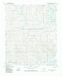
1985 Map of Ikpikpuk River B-4
USGS Topo · Published 1985About this map
The Ikpikpuk River and its meandering tributaries dominate this mid-1980s topographic survey of the North Slope. Situated within the National Petroleum Reserve in Alaska, the landscape is defined by vast hydrographic networks and seasonal drainages such as Brooks Creek and the southern Kigalik River. A notable landform in the northeastern portion of the sheet is the Valley of the Willows, which provides a rare named topographical distinction in an otherwise repetitive terrain of tundra and low relief. The map illustrates the complex drainage patterns typical of the Arctic coastal plain, showing where water systems interact with the unsurveyed and unmarked land lines established by the Bureau of Land Management. This edition reflects the remote character of the region during a period of ongoing federal land management and resource evaluation.
Find a feature on this map
11 named features on this map. Tap any name to fly to it.
Don’t see what you’re looking for? This feature index may not catch every label — zoom into the map to look around manually.
Map Details
Editions of this 1985 Ikpikpuk River B-4 Map
This is the sole edition of this map. No revisions or reprints were ever made.
Other maps of this area

1951 · Ikpikpuk River
USGS Topo · 1:250,000

1956 · Ikpikpuk River
USGS Topo · 1:250,000
1984 · Ikpikpuk River A-4
USGS Topo · 1:63,360
1984 · Ikpikpuk River A-5
USGS Topo · 1:63,360

1984 · Ikpikpuk River A-3
USGS Topo · 1:63,360

1985 · Ikpikpuk River B-3
USGS Topo · 1:63,360
1985 · Ikpikpuk River C-3
USGS Topo · 1:63,360
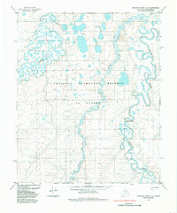
1985 · Ikpikpuk River C-4
USGS Topo · 1:63,360
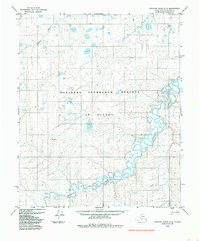
1985 · Ikpikpuk River C-5
USGS Topo · 1:63,360
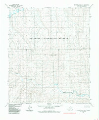
1985 · Ikpikpuk River B-5
USGS Topo · 1:63,360