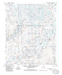
1985 Map of Ikpikpuk River D-4
USGS Topo · Published 1985About this map
The National Petroleum Reserve in Alaska dominates this landscape, characterized by an intricate network of wandering waterways and thaw lakes. The Oumalik River and Titaluk River meander through the center of the quadrangle, their oxbows and abandoned channels illustrating the dynamic nature of Arctic river systems. In the southwestern corner, the Oumalik Lakes cluster near the riverbanks, while the eastern edge is defined by the larger Ikpikpuk River. This 1980s-era documentation, derived from 1971 aerial photography, provides a record of the remote terrain before extensive modern infrastructure. Aside from a single Tractor Trail cutting across the western tundra, the map shows a wilderness almost entirely devoid of permanent human settlement, reflecting the specialized land management of the petroleum reserve during this period.
Find a feature on this map
6 named features on this map. Tap any name to fly to it.
Don’t see what you’re looking for? This feature index may not catch every label — zoom into the map to look around manually.
Map Details
Editions of this 1985 Ikpikpuk River D-4 Map
This is the sole edition of this map. No revisions or reprints were ever made.
Other maps of this area

1951 · Teshekpuk
USGS Topo · 1:250,000

1951 · Ikpikpuk River
USGS Topo · 1:250,000

1955 · Teshekpuk
USGS Topo · 1:250,000
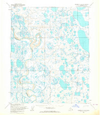
1955 · Teshekpuk A-3
USGS Topo · 1:63,360
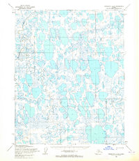
1955 · Teshekpuk A-5
USGS Topo · 1:63,360
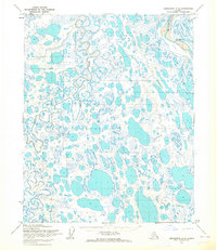
1955 · Teshekpuk A-4
USGS Topo · 1:63,360

1956 · Ikpikpuk River
USGS Topo · 1:250,000

1964 · Teshekpuk
USGS Topo · 1:250,000
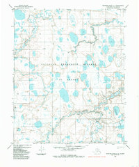
1984 · Ikpikpuk River D-5
USGS Topo · 1:63,360
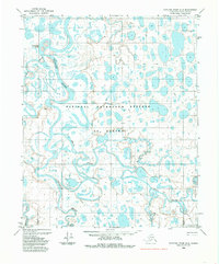
1984 · Ikpikpuk River D-3
USGS Topo · 1:63,360