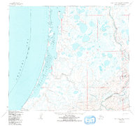
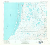
1955 Map of Point Lay B-2 and B-3
USGS Topo · Published 1991About this map
Kasegaluk Lagoon dominates the western coastline of this Arctic landscape, separated from the open Chukchi Sea by a thin, broken barrier of mud flats and sand. The map documents a critical coastal transition at Naokok Pass, where the lagoon waters meet the sea. Along the shore, a Winter Trail traces the edge of the lagoon, providing a glimpse into the seasonal transportation routes essential for life in the North Slope Borough during the mid-twentieth century.
Find a feature on this map
11 named features on this map. Tap any name to fly to it.
Don’t see what you’re looking for? This feature index may not catch every label — zoom into the map to look around manually.
Map Details
Editions of this 1955 Point Lay B-2 and B-3 Map
3 editions found
Other maps of this area

1951 · Point Lay
USGS Topo · 1:250,000

1955 · Point Lay
USGS Topo · 1:250,000

1955 · Point Lay B-1
USGS Topo · 1:63,360

1955 · Point Lay C-1
USGS Topo · 1:63,360

1955 · Point Lay A-1
USGS Topo · 1:63,360
1955 · Point Lay A-3 & 4
USGS Topo · 1:63,360
1955 · Point Lay B-2 & 3
USGS Topo · 1:63,360
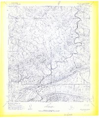
1955 · Point Lay A-2
USGS Topo · 1:63,360
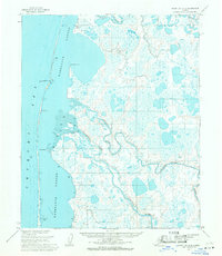
1955 · Point Lay C-2
USGS Topo · 1:63,360
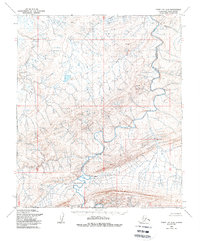
1956 · Point Lay A-2
USGS Topo · 1:63,360