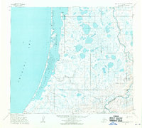
1955 Map of Point Lay B-2 and B-3
USGS Topo · Published 1970About this map
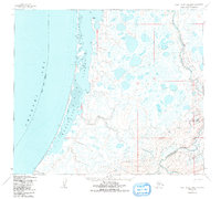
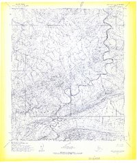
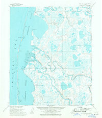
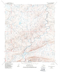
Kasegaluk Lagoon dominates the western edge of this coastal survey, separated from the vast Chukchi Sea by a thin, protective barrier spit. Along this narrow strip of land, the Winter Trail provides a critical travel route through the Arctic landscape. The map captures a significant transition in local settlement at Naokok (Abandoned), which sits near the northern opening of Naokok Pass. Inland, the terrain is defined by the winding course of the Kukpowruk River and its tributary, Kuchaurak Creek, as they flow through a network of tundra lakes. This 1955 survey provides an essential record of the North Slope's hydrological patterns and traditional transportation corridors before the impacts of modern infrastructure.
Find a feature on this map
7 named features on this map. Tap any name to fly to it.
Don’t see what you’re looking for? This feature index may not catch every label — zoom into the map to look around manually.
Map Details
Editions of this 1955 Point Lay B-2 and B-3 Map
3 editions found
Other maps of this area

1951 · Point Lay
USGS Topo · 1:250,000

1955 · Point Lay
USGS Topo · 1:250,000

1955 · Point Lay B-1
USGS Topo · 1:63,360

1955 · Point Lay C-1
USGS Topo · 1:63,360

1955 · Point Lay A-1
USGS Topo · 1:63,360
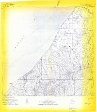
1955 · Point Lay A-3 & 4
USGS Topo · 1:63,360
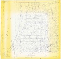
1955 · Point Lay B-2 & 3
USGS Topo · 1:63,360
1955 · Point Lay A-2
USGS Topo · 1:63,360
1955 · Point Lay C-2
USGS Topo · 1:63,360
1956 · Point Lay A-2
USGS Topo · 1:63,360