
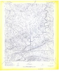
1955 Map of De Long Mountains D-2
USGS Topo · Published 1967About this map
Igloo Mountain dominates the southern landscape of this mid-century survey, rising as a prominent landform above the surrounding drainage basins. The Kukpowruk River carves a winding path through the western portion of the terrain, fed by several significant tributaries including Turbid Cr and Eagle Creek. This 1955 mapping effort, based on aerial photography and field annotations from the same year, captures the area's hydrology before later industrial or environmental shifts. The convergence of Raven Basin near the southern boundary suggests a complex topographical intersection where mountain slopes transition into lower wetlands and creek beds. To the east, the expansive reach of Surprise Creek and the flow of Tupikchak Creek define the watershed patterns of this remote northern region.
Find a feature on this map
7 named features on this map. Tap any name to fly to it.
Don’t see what you’re looking for? This feature index may not catch every label — zoom into the map to look around manually.
Map Details
Editions of this 1955 De Long Mountains D-2 Map
This is the sole edition of this map. No revisions or reprints were ever made.
Other maps of this area

1951 · De Long Mountains
USGS Topo · 1:250,000

1951 · Point Lay
USGS Topo · 1:250,000

1955 · De Long Mountains
USGS Topo · 1:250,000

1955 · Point Lay
USGS Topo · 1:250,000

1955 · Point Lay A-1
USGS Topo · 1:63,360
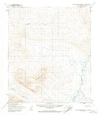
1955 · De Long Mountains D-1
USGS Topo · 1:63,360
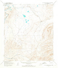
1955 · De Long Mountains C-2
USGS Topo · 1:63,360
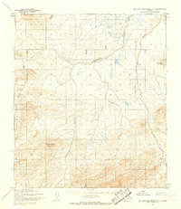
1955 · De Long Mountains C-1
USGS Topo · 1:63,360
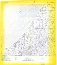
1955 · Point Lay A-3 & 4
USGS Topo · 1:63,360
1955 · Point Lay A-2
USGS Topo · 1:63,360