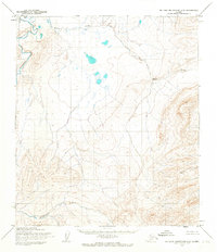
1955 Map of De Long Mountains C-2
USGS Topo · Published 1967About this map
Eagle Creek meanders through the northern plains of the De Long Mountains, forming part of the remote North Slope hydrology recorded during this mid-century aerial survey. The landscape is defined by the sweeping course of the Kukpowruk River, which winds through the western and southern reaches of the quadrangle. Topographic detail here is focused on the transition from the river basin to the higher elevations in the southeast, where peaks such as Mt Cathy and the high ground at Merk emerge. These land lines were predetermined by the Bureau of Land Management as unsurveyed and unmarked locations, reflecting the state of arctic land administration in the mid-1950s. The map provides a clear picture of the natural drainage patterns and mountain topography before significant modern development reached this part of the Alaskan wilderness.
Find a feature on this map
4 named features on this map. Tap any name to fly to it.
Don’t see what you’re looking for? This feature index may not catch every label — zoom into the map to look around manually.
Map Details
Editions of this 1955 De Long Mountains C-2 Map
This is the sole edition of this map. No revisions or reprints were ever made.
Other maps of this area

1951 · De Long Mountains
USGS Topo · 1:250,000

1955 · De Long Mountains
USGS Topo · 1:250,000

1955 · De Long Mountains D-2
USGS Topo · 1:63,360
1955 · De Long Mountains D-1
USGS Topo · 1:63,360
1955 · De Long Mountains C-1
USGS Topo · 1:63,360
1955 · De Long Mountains D-3
USGS Topo · 1:63,360

1955 · De Long Mountains B-3
USGS Topo · 1:63,360

1955 · De Long Mountains B-2
USGS Topo · 1:63,360
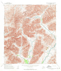
1955 · De Long Mountains B-1
USGS Topo · 1:63,360
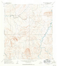
1955 · De Long Mountains C-3
USGS Topo · 1:63,360