
1955 Map of De Long Mountains B-2
USGS Topo · Published 1971About this map
The De Long Mountains dominate this remote Alaskan landscape, as documented by the U.S. Geological Survey using mid-1950s aerial photography. This high-altitude terrain is defined by its drainage systems, where the headwaters of the Kukpowruk River flow northward and the Wulik River carves a path through the southern foothills. Notable landmarks like Sheep Mountain and Chevron Hill provide topographic anchor points in a region that, at the time of field annotation in 1955, contained no established roads or trails. The map reveals the intricate network of alpine drainage, including Wrench Creek, illustrating the natural conduits through the Brooks Range before modern infrastructure or mineral exploration reached this part of the North Slope.
Find a feature on this map
6 named features on this map. Tap any name to fly to it.
Don’t see what you’re looking for? This feature index may not catch every label — zoom into the map to look around manually.
Map Details
Editions of this 1955 De Long Mountains B-2 Map
This is the sole edition of this map. No revisions or reprints were ever made.
Other maps of this area

1951 · De Long Mountains
USGS Topo · 1:250,000

1955 · De Long Mountains
USGS Topo · 1:250,000

1955 · De Long Mountains A-3
USGS Topo · 1:63,360
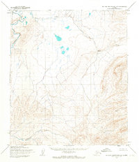
1955 · De Long Mountains C-2
USGS Topo · 1:63,360

1955 · De Long Mountains A-1
USGS Topo · 1:63,360
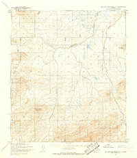
1955 · De Long Mountains C-1
USGS Topo · 1:63,360

1955 · De Long Mountains A-2
USGS Topo · 1:63,360

1955 · De Long Mountains B-3
USGS Topo · 1:63,360
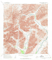
1955 · De Long Mountains B-1
USGS Topo · 1:63,360
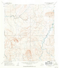
1955 · De Long Mountains C-3
USGS Topo · 1:63,360