
1955 Map of De Long Mountains B-3
USGS Topo · Published 1971About this map
The De Long Mountains dominate this remote Alaskan landscape, where the headwaters of several major regional drainage systems originate. Rising from the north, Mount Kelly serves as a prominent landmark overlooking a network of arctic waterways. The Ipewik River and Kukpuk River carve through the northern and central sections of the quadrangle, while the Kivalina River and Sognerak River drain the southern reaches. Published for civil use by the Geological Survey and mapped by the U.S. Army Topographic Command, the survey reflects the mid-century effort to document the Brooks Range foothills using aerial photogrammetry. The absence of roads or trails highlights the undisturbed nature of this wilderness at the time of the 1955 field annotation, where the terrain is defined entirely by its complex contour elevations and seasonal river flow patterns.
Find a feature on this map
6 named features on this map. Tap any name to fly to it.
Don’t see what you’re looking for? This feature index may not catch every label — zoom into the map to look around manually.
Map Details
Editions of this 1955 De Long Mountains B-3 Map
This is the sole edition of this map. No revisions or reprints were ever made.
Other maps of this area

1951 · De Long Mountains
USGS Topo · 1:250,000

1955 · De Long Mountains
USGS Topo · 1:250,000

1955 · De Long Mountains A-3
USGS Topo · 1:63,360

1955 · De Long Mountains A-4
USGS Topo · 1:63,360
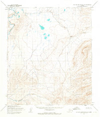
1955 · De Long Mountains C-2
USGS Topo · 1:63,360

1955 · De Long Mountains A-2
USGS Topo · 1:63,360

1955 · De Long Mountains C-4
USGS Topo · 1:63,360
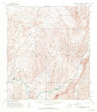
1955 · De Long Mountains B-4
USGS Topo · 1:63,360

1955 · De Long Mountains B-2
USGS Topo · 1:63,360
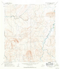
1955 · De Long Mountains C-3
USGS Topo · 1:63,360