
1955 Map of De Long Mountains A-4
USGS Topo · Published 1967About this map
Kivalina River meanders across this mid-century landscape in the northwestern reaches of the Arctic, revealing a terrain defined by expansive river basins and the high elevations of the Wulik Peaks. The 1950s data, compiled by the Army Map Service, documents a wilderness devoid of roads or permanent settlements at the time of the survey. The northern portion of the sheet captures a segment of the Kukpuk R, while the complex hydrology of oxbow lakes and braided channels along the river valleys illustrates the dynamic nature of this remote environment. These land lines represent unsurveyed and unmarked locations predetermined by the Bureau of Land Management, emphasizing the frontier state of this region during the post-war era.
Find a feature on this map
4 named features on this map. Tap any name to fly to it.
Don’t see what you’re looking for? This feature index may not catch every label — zoom into the map to look around manually.
Map Details
Editions of this 1955 De Long Mountains A-4 Map
This is the sole edition of this map. No revisions or reprints were ever made.
Other maps of this area

1951 · De Long Mountains
USGS Topo · 1:250,000

1951 · Noatak
USGS Topo · 1:250,000

1955 · Noatak
USGS Topo · 1:250,000

1955 · De Long Mountains
USGS Topo · 1:250,000

1955 · Noatak D-4
USGS Topo · 1:63,360

1955 · De Long Mountains A-3
USGS Topo · 1:63,360
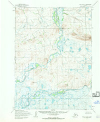
1955 · Noatak D-5
USGS Topo · 1:63,360
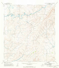
1955 · De Long Mountains A-5
USGS Topo · 1:63,360

1955 · De Long Mountains B-3
USGS Topo · 1:63,360
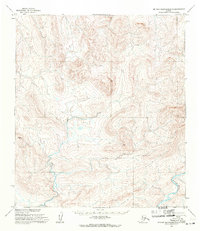
1955 · De Long Mountains B-5
USGS Topo · 1:63,360