
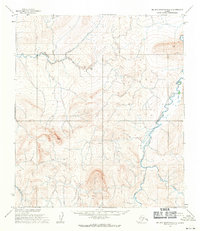
1955 Map of De Long Mountains C-4
USGS Topo · Published 1971About this map
The Pitmegea River flows northward through the De Long Mountains in this 1950s depiction of the remote Alaskan interior. Situated in the North Slope region, the terrain is defined by a dense network of high ridges and deep drainage basins that characterize the Arctic landscape before extensive modern infrastructure. The Ipewik River carves a prominent path across the lower half of the sheet, featuring the distinctively named Horseshoe Bend where the water snakes through the valley floor. Near the center-west, Windy Lake sits as a solitary named water body amidst the high contours. This 1955 survey, released for civil use in the early 1970s, captures the untouched state of the Umat Meridian, where the Bureau of Land Management noted unsurveyed lands and a total absence of established roads or trails.
Find a feature on this map
6 named features on this map. Tap any name to fly to it.
Don’t see what you’re looking for? This feature index may not catch every label — zoom into the map to look around manually.
Map Details
Editions of this 1955 De Long Mountains C-4 Map
This is the sole edition of this map. No revisions or reprints were ever made.
Other maps of this area

1951 · De Long Mountains
USGS Topo · 1:250,000

1955 · De Long Mountains
USGS Topo · 1:250,000
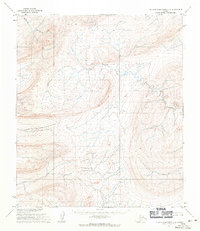
1955 · De Long Mountains D-3
USGS Topo · 1:63,360

1955 · De Long Mountains D-4
USGS Topo · 1:63,360

1955 · De Long Mountains C-5
USGS Topo · 1:63,360

1955 · De Long Mountains B-3
USGS Topo · 1:63,360
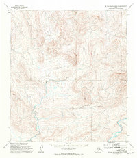
1955 · De Long Mountains B-5
USGS Topo · 1:63,360
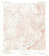
1955 · De Long Mountains B-4
USGS Topo · 1:63,360
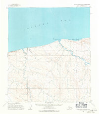
1955 · De Long Mountains D-5
USGS Topo · 1:63,360
1955 · De Long Mountains C-3
USGS Topo · 1:63,360