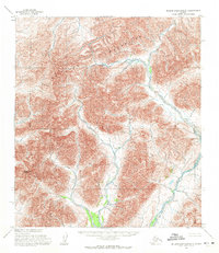
1955 Map of De Long Mountains B-1
USGS Topo · Published 1971About this map
The De Long Mountains of the North Slope are captured here during a mid-1950s survey that utilized photogrammetric methods from aerial photography. This high-altitude landscape is defined by the headwaters of the Kelly River, which winds through the eastern portion of the sheet, and its tributary Wrench Creek to the west. The topography is dominated by the massive Amphitheatre Mountain, a prominent landmark that characterizes the southern portion of the range in this quadrangle. These surveys by the U.S. Army Topographic Command were critical for documenting the interior geography of northern Alaska before widespread development. The lack of roads or established trails highlights the isolation of this Arctic terrain, where drainage patterns and mountain peaks served as the primary navigational markers for travelers and surveyors alike.
Find a feature on this map
4 named features on this map. Tap any name to fly to it.
Don’t see what you’re looking for? This feature index may not catch every label — zoom into the map to look around manually.
Map Details
Editions of this 1955 De Long Mountains B-1 Map
2 editions found
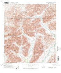
Other maps of this area

1951 · De Long Mountains
USGS Topo · 1:250,000

1951 · Misheguk Mountain
USGS Topo · 1:250,000

1955 · De Long Mountains
USGS Topo · 1:250,000

1955 · Misheguk Mountain A-5
USGS Topo · 1:63,360
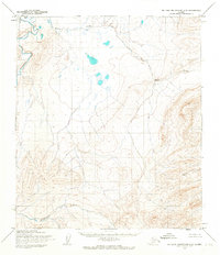
1955 · De Long Mountains C-2
USGS Topo · 1:63,360

1955 · De Long Mountains A-1
USGS Topo · 1:63,360
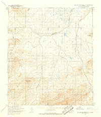
1955 · De Long Mountains C-1
USGS Topo · 1:63,360

1955 · De Long Mountains A-2
USGS Topo · 1:63,360

1955 · De Long Mountains B-2
USGS Topo · 1:63,360

1956 · Misheguk Mountain
USGS Topo · 1:250,000