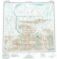
1956 Map of Mt. Michelson
USGS Topo · Published 1983About this map
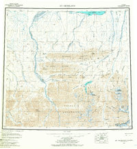
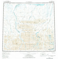
The Brooks Range and the coastal plain of Camden Bay define this expansive wilderness as it was documented from 1950s aerial surveys. High peaks like Mount Chamberlin and Mount Michelson tower over the Romanzof Mountains, while the G William Holmes Memorial Station sits near Lake Schrader in the central highlands. The map illustrates a landscape of deep valleys and braided river systems, including the Canning River and HulaHula River, which cut through the Sadlerochit Mountains toward the Arctic coast. This edition also records the early infrastructure of resource exploration, noting a Tractor Trail along the northern coast and several isolated Drill Holes. Coastal outposts such as Collinson Pt and a remote Landing Strip at Simpson Cove provide the only evidence of human habitation in this vast environment, which is largely protected as part of the Arctic Wildlife Refuge.
Find a feature on this map
83 named features on this map. Tap any name to fly to it.
Don’t see what you’re looking for? This feature index may not catch every label — zoom into the map to look around manually.
Map Details
Editions of this 1956 Mt. Michelson Map
8 editions found

Other maps of this area

1951 · Beechey Point
USGS Topo · 1:250,000

1951 · Barter Island
USGS Topo · 1:250,000

1951 · Sagavanirktok D-5
USGS Topo · 1:250,000

1951 · Demarcation Point
USGS Topo · 1:250,000

1951 · Brooks
USGS Topo · 1:250,000

1951 · Arctic
USGS Topo · 1:250,000

1951 · Table Mountain
USGS Topo · 1:250,000

1951 · Mt. Michelson
USGS Topo · 1:250,000

1955 · Flaxman Island
USGS Topo · 1:250,000

1955 · Demarcation Point
USGS Topo · 1:250,000