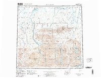
1956 Map of Mt. Michelson
USGS Topo · Published 1983About this map
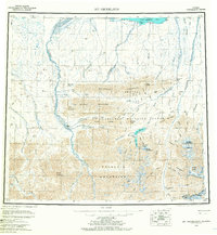
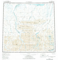
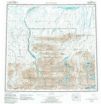
The Brooks Range dominates this mid-century survey, a wilderness landscape where the Continental Divide winds through the high peaks of the Franklin Mountains and Romanzof Mountains. Glacial activity is evident near the towering summit of Mount Michelson, while the massive drainage systems of the Canning River and Hulahula River carve northward toward the Beaufort Sea.
Find a feature on this map
97 named features on this map. Tap any name to fly to it.
Don’t see what you’re looking for? This feature index may not catch every label — zoom into the map to look around manually.
Map Details
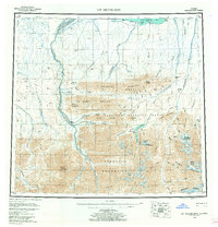
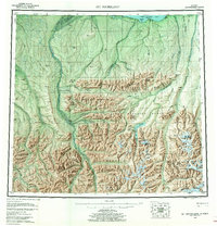
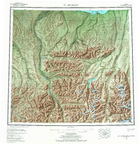
Editions of this 1956 Mt. Michelson Map
8 editions found

Other maps of this area

1951 · Beechey Point
USGS Topo · 1:250,000

1951 · Barter Island
USGS Topo · 1:250,000

1951 · Sagavanirktok D-5
USGS Topo · 1:250,000

1951 · Demarcation Point
USGS Topo · 1:250,000

1951 · Brooks
USGS Topo · 1:250,000

1951 · Arctic
USGS Topo · 1:250,000

1951 · Table Mountain
USGS Topo · 1:250,000

1951 · Mt. Michelson
USGS Topo · 1:250,000

1955 · Flaxman Island
USGS Topo · 1:250,000

1955 · Demarcation Point
USGS Topo · 1:250,000