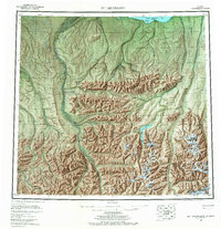
1956 Map of Mt. Michelson
USGS Topo · Published 1967About this map
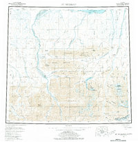
Arctic National Wildlife Range dominates this landscape, reaching from the Camden Bay coast south through the high peaks of the Brooks Range. This mid-century survey captures the region just as the Wildlife Range was established, documenting the complex river networks of the Canning River and Hulahula River before modern developments. The topography transitions from the northern coastal plains at Simpson Cove to the massive elevations of the Romanzof Mountains, where Mount Michelson and Mount Chamberlin stand as primary landmarks.
Find a feature on this map
78 named features on this map. Tap any name to fly to it.
Don’t see what you’re looking for? This feature index may not catch every label — zoom into the map to look around manually.
Map Details
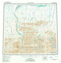
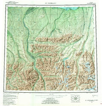
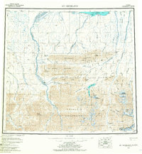
Editions of this 1956 Mt. Michelson Map
8 editions found

Other maps of this area

1951 · Beechey Point
USGS Topo · 1:250,000

1951 · Barter Island
USGS Topo · 1:250,000

1951 · Sagavanirktok D-5
USGS Topo · 1:250,000

1951 · Demarcation Point
USGS Topo · 1:250,000

1951 · Brooks
USGS Topo · 1:250,000

1951 · Arctic
USGS Topo · 1:250,000

1951 · Table Mountain
USGS Topo · 1:250,000

1951 · Mt. Michelson
USGS Topo · 1:250,000

1955 · Flaxman Island
USGS Topo · 1:250,000

1955 · Demarcation Point
USGS Topo · 1:250,000