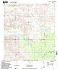
1972 Map of Arctic A-4
USGS Topo · Published 2000About this map
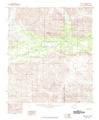
The Arctic National Wildlife Refuge dominates this sub-arctic terrain, capturing a landscape defined by glacial activity and high-latitude drainage patterns. Steep elevations like Misty Mountain and Smoke Mountain rise above the braided path of the East Fork Chandalar River in the southeast. The central portion of the map is defined by a dense network of seasonal wetlands and small lakes where Crow Nest Creek and Ottertail Creek converge. These water systems are confined by prominent landforms such as Ottertail Ridge and Crow Nest Rock, which provide significant topographic relief. Mapping this area required high-altitude photogrammetry, reflecting the immense logistical challenges of surveying the North Slope Borough during the early 1970s. The presence of the South Boundary Umiat Meridian illustrates the formal cadastral divisions used to manage this expansive wilderness.
Find a feature on this map
12 named features on this map. Tap any name to fly to it.
Don’t see what you’re looking for? This feature index may not catch every label — zoom into the map to look around manually.
Map Details
Editions of this 1972 Arctic A-4 Map
2 editions found
Other maps of this area

1951 · Christian
USGS Topo · 1:250,000

1951 · Arctic
USGS Topo · 1:250,000

1956 · Arctic
USGS Topo · 1:250,000

1956 · Christian
USGS Topo · 1:250,000

1972 · Arctic A-3
USGS Topo · 1:63,360
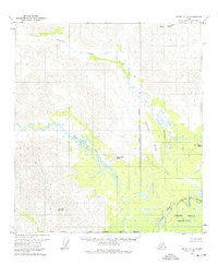
1972 · Arctic A-4
USGS Topo · 1:63,360
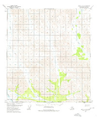
1972 · Arctic A-5
USGS Topo · 1:63,360
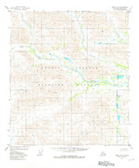
1981 · Arctic B-5
USGS Topo · 1:63,360
1983 · Arctic B-4
USGS Topo · 1:63,360

1983 · Arctic B-3
USGS Topo · 1:63,360