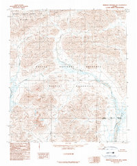
1990 Map of Misheguk Mountain B-5
USGS Topo · Published 1990About this map
Noatak Wilderness and the Noatak National Preserve dominate this remote northern landscape, where the confluence of several major waterways defines the natural geography. The Kelly River flows through the western reaches, while the eastern edge is marked by the Kugururok River near the North Slope Borough boundary. The northern portion of the quadrangle marks the southern extent of the National Petroleum Reserve in Alaska, illustrating the transition from federally protected wilderness to resource management areas.
Find a feature on this map
11 named features on this map. Tap any name to fly to it.
Don’t see what you’re looking for? This feature index may not catch every label — zoom into the map to look around manually.
Map Details
Editions of this 1990 Misheguk Mountain B-5 Map
This is the sole edition of this map. No revisions or reprints were ever made.
Other maps of this area

1951 · De Long Mountains
USGS Topo · 1:250,000

1951 · Misheguk Mountain
USGS Topo · 1:250,000

1955 · De Long Mountains
USGS Topo · 1:250,000

1955 · Misheguk Mountain A-5
USGS Topo · 1:63,360

1955 · De Long Mountains A-1
USGS Topo · 1:63,360
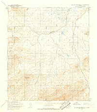
1955 · De Long Mountains C-1
USGS Topo · 1:63,360
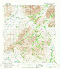
1955 · Misheguk Mountain A-4
USGS Topo · 1:63,360
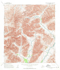
1955 · De Long Mountains B-1
USGS Topo · 1:63,360

1956 · Misheguk Mountain
USGS Topo · 1:250,000

1965 · De Long Mountains
USGS Topo · 1:250,000