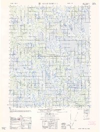
1962 Map of Meade River C-5
USGS Topo · Published 1962About this map
Naval Petroleum Reserve No 4 dominates this landscape, which was meticulously compiled by the Army Map Service using photogrammetric methods from the mid-1950s. The terrain is defined by a dense network of lakes and tundra wetlands characteristic of the Arctic coastal plain. The Kungok River meanders across the northwestern portion of the sheet, providing a primary drainage route through this remote area. Human presence is remarkably sparse, indicated primarily by a singular Winter Trail that cuts through the wilderness. This map captures a moment of strategic interest and geographical study in northern Alaska, where the vastness of the petroleum reserve and the natural water systems were being formally documented for the first time by federal agencies like the Usc&GS.
Find a feature on this map
3 named features on this map. Tap any name to fly to it.
Don’t see what you’re looking for? This feature index may not catch every label — zoom into the map to look around manually.
Map Details
Editions of this 1962 Meade River C-5 Map
This is the sole edition of this map. No revisions or reprints were ever made.
Other maps of this area

1951 · Meade River
USGS Topo · 1:250,000

1951 · Wainwright
USGS Topo · 1:250,000

1955 · Wainwright
USGS Topo · 1:250,000

1955 · Wainwright B-1
USGS Topo · 1:63,360

1955 · Meade River
USGS Topo · 1:250,000

1955 · Wainwright C-1
USGS Topo · 1:63,360

1955 · Meade River D-5
USGS Topo · 1:63,360

1955 · Meade River C-5
USGS Topo · 1:63,360

1955 · Meade River B-4
USGS Topo · 1:63,360
1955 · Meade River D-4
USGS Topo · 1:63,360