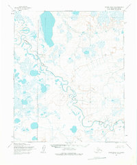
1955 Map of Utukok River C-5
USGS Topo · Published 1976About this map
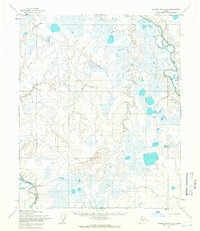
Kokolik River winds through this expanse of the North Slope, carving a serpentine path through a landscape dominated by thaw lakes and wet tundra. The mapping, based on 1955 aerial photography by the Army Map Service, captures the raw hydrology of the Arctic coastal plain before significant modern infrastructure. A notable administrative feature is the Naval Petroleum Reserve No 4 Boundary (Indefinite), which vertically bisects the western portion of the quadrangle. This boundary represents a massive federal land withdrawal dating back to the Harding administration, intended to secure oil interests for the United States Navy. The map provides a detailed view of the natural drainage patterns and the countless unnamed water bodies that characterize this permafrost-rich environment.
Find a feature on this map
3 named features on this map. Tap any name to fly to it.
Don’t see what you’re looking for? This feature index may not catch every label — zoom into the map to look around manually.
Map Details
Editions of this 1955 Utukok River C-5 Map
2 editions found
Other maps of this area

1951 · Utukok River
USGS Topo · 1:250,000

1951 · Point Lay
USGS Topo · 1:250,000

1955 · Point Lay
USGS Topo · 1:250,000
1955 · Utukok River D-4
USGS Topo · 1:63,360
1955 · Utukok River C-5
USGS Topo · 1:63,360

1955 · Point Lay B-1
USGS Topo · 1:63,360

1955 · Point Lay C-1
USGS Topo · 1:63,360
1955 · Utukok River B-4
USGS Topo · 1:63,360
1955 · Utukok River C-4
USGS Topo · 1:63,360
1955 · Utukok River D-5
USGS Topo · 1:63,360