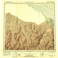
1951 Map of Demarcation Point
USGS Topo · Published 1956About this map
The Alaska Yukon boundary meets the Beaufort Sea at the edge of this 1951 reconnaissance survey, a remote coastal landscape defined by shifting lagoons and the northernmost reaches of the Brooks Range. Coastal life at mid-century is centered around Demarcation Bay, where the settlement of Gordon stands near the abandoned site of Kuluruak. The map illustrates the complex drainage of the North Slope, where the Jago River, Turner River, and Clarence River flow from the high peaks of the Romanzof Mountains and British Mountains toward the Arctic Ocean. Landmark peaks like Mt Greenough overlook a shoreline protected by features such as Icy Reef and Siku Lagoon. This survey captures the topographical transition from the glacier-carved interior mountains to the barrier islands and bights of the arctic coast before the modern era of intensive development.
Find a feature on this map
34 named features on this map. Tap any name to fly to it.
Don’t see what you’re looking for? This feature index may not catch every label — zoom into the map to look around manually.
Map Details
Editions of this 1951 Demarcation Point Map
4 editions found
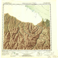
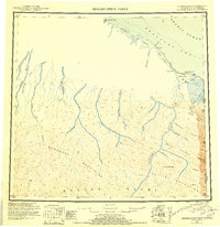
Other maps of this area

1951 · Barter Island
USGS Topo · 1:250,000

1951 · Demarcation Point
USGS Topo · 1:250,000

1951 · Arctic
USGS Topo · 1:250,000

1951 · Table Mountain
USGS Topo · 1:250,000

1951 · Mt. Michelson
USGS Topo · 1:250,000

1955 · Flaxman Island
USGS Topo · 1:250,000

1955 · Demarcation Point
USGS Topo · 1:250,000

1955 · Mount Michelson B-1
USGS Topo · 1:63,360

1955 · Mount Michelson C-1
USGS Topo · 1:63,360

1955 · Demarcation Point C-5
USGS Topo · 1:63,360