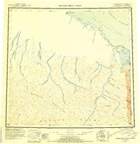
1951 Map of Demarcation Point
USGS Topo · Published 1956About this map
The Alaska Yukon border meets the Arctic Ocean at the far northeast corner of this territory, where the United States Canada boundary line runs straight through the British Mountains. The landscape is dominated by the massive peaks of the Brooks Range and the Romanzof Mountains, with high-elevation survey markers like Vabm 6566 and Vabm 5620 indicating the height of the terrain. The northern coastline is a complex network of barrier islands and lagoons, including Siku Lagoon and Beaufort Lagoon, protected by features like Icy Reef. Small settlements such as Gordon and Demarcation sit on the shores of Demarcation Bay, while the site at Kuluruak points to shifting habitation patterns along the coast. This 1951 survey integrates older 1911 International Boundary Commission data with mid-century aerial photography to map the drainage of the Jago River and Kongakut River.
Find a feature on this map
47 named features on this map. Tap any name to fly to it.
Don’t see what you’re looking for? This feature index may not catch every label — zoom into the map to look around manually.
Map Details
Editions of this 1951 Demarcation Point Map
4 editions found
Other maps of this area

1951 · Barter Island
USGS Topo · 1:250,000

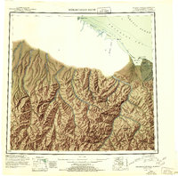
1951 · Demarcation Point
USGS Topo · 1:250,000

1951 · Arctic
USGS Topo · 1:250,000

1951 · Table Mountain
USGS Topo · 1:250,000

1951 · Mt. Michelson
USGS Topo · 1:250,000

1955 · Flaxman Island
USGS Topo · 1:250,000

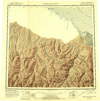
1955 · Demarcation Point
USGS Topo · 1:250,000

1955 · Mount Michelson B-1
USGS Topo · 1:63,360

1955 · Mount Michelson C-1
USGS Topo · 1:63,360

1955 · Demarcation Point C-5
USGS Topo · 1:63,360