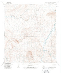
1955 Map of De Long Mountains C-3
USGS Topo · Published 1985About this map
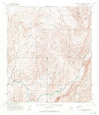
The Kukpowruk River carves a dominant path through this portion of the northern De Long Mountains, illustrating the complex drainage patterns of the Alaska North Slope. In the mid-1950s, when these aerial surveys were first conducted, the area remained a roadless wilderness characterized by high-elevation ridges and distinct river valleys. The Pitmegea River flows across the northern reaches, while the south is defined by the headwaters of the Sooner River and Ipnewik River. The absence of any permanent settlements or structures on the map highlights the area's isolation and its primary role as a seasonal hunting ground and a crucial migratory corridor for Arctic wildlife. Geographers and historians can trace the intricate braiding of Ikok Creek and other tributaries as they navigate the varied topography of this undeveloped landscape.
Find a feature on this map
6 named features on this map. Tap any name to fly to it.
Don’t see what you’re looking for? This feature index may not catch every label — zoom into the map to look around manually.
Map Details
Editions of this 1955 De Long Mountains C-3 Map
2 editions found
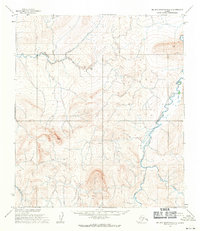
Other maps of this area

1951 · De Long Mountains
USGS Topo · 1:250,000

1955 · De Long Mountains
USGS Topo · 1:250,000

1955 · De Long Mountains D-2
USGS Topo · 1:63,360
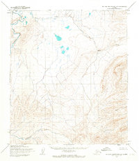
1955 · De Long Mountains C-2
USGS Topo · 1:63,360
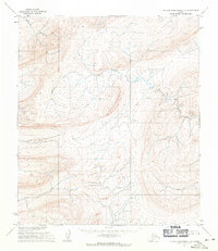
1955 · De Long Mountains D-3
USGS Topo · 1:63,360

1955 · De Long Mountains D-4
USGS Topo · 1:63,360

1955 · De Long Mountains C-4
USGS Topo · 1:63,360

1955 · De Long Mountains B-3
USGS Topo · 1:63,360
1955 · De Long Mountains B-4
USGS Topo · 1:63,360

1955 · De Long Mountains B-2
USGS Topo · 1:63,360