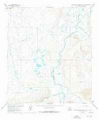
1971 Map of Philip Smith Mountains C-4
USGS Topo · Published 1977About this map
The Sagavanirktok River snakes northward through this North Slope landscape, serving as a primary corridor for early industrial development in the Alaskan arctic. The map captures a critical moment of transformation as The Trans-Alaska Pipeline (under construction) and a corresponding Winter Road (under construction) are plotted across the tundra. These massive infrastructure projects parallel the river system, signaling the shift from a remote wilderness to an energy-producing frontier.
Find a feature on this map
11 named features on this map. Tap any name to fly to it.
Don’t see what you’re looking for? This feature index may not catch every label — zoom into the map to look around manually.
Map Details
Editions of this 1971 Philip Smith Mountains C-4 Map
2 editions found
Other maps of this area

1951 · Brooks
USGS Topo · 1:250,000

1956 · Philip Smith Mountains
USGS Topo · 1:250,000

1964 · Philip Smith Mountains
USGS Topo · 1:250,000
1971 · Philip Smith Mountains D-3
USGS Topo · 1:63,360

1971 · Philip Smith Mountains C-4
USGS Topo · 1:63,360
1971 · Philip Smith Mountains B-5
USGS Topo · 1:63,360
1971 · Philip Smith Mountains C-3
USGS Topo · 1:63,360
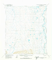
1971 · Philip Smith Mountains D-4
USGS Topo · 1:63,360

1971 · Philip Smith Mountains B-3
USGS Topo · 1:63,360
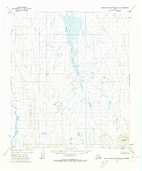
1971 · Philip Smith Mountains D-5
USGS Topo · 1:63,360