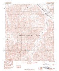
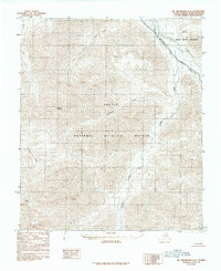
1983 Map of Mt. Michelson A-4
USGS Topo · Published 1986About this map
The Arctic National Wildlife Refuge Wilderness dominates this 1983 provisional survey of the North Slope, established just years prior under the Alaska National Interest Lands Conservation Act. The landscape is defined by the massive drainage systems of the Canning River and its major tributary, the Marsh Fork Canning River, which flow through the expansive Canning River Valley. This map documents a high-arctic environment of extreme relief, where the topographic contours reach their peak at Mount Salisbury. Other significant watercourses including the Kavik River, Salisbury Creek, and Pogopuk Creek carve through the terrain, illustrating the complex hydrologic network that characterizes this protected wilderness before modern climate shifts altered the northern landscape.
Find a feature on this map
10 named features on this map. Tap any name to fly to it.
Don’t see what you’re looking for? This feature index may not catch every label — zoom into the map to look around manually.
Map Details
Editions of this 1983 Mt. Michelson A-4 Map
2 editions found
Other maps of this area

1951 · Arctic
USGS Topo · 1:250,000

1951 · Mt. Michelson
USGS Topo · 1:250,000

1956 · Arctic
USGS Topo · 1:250,000

1956 · Mt. Michelson
USGS Topo · 1:250,000

1956 · Mount Michelson B-3
USGS Topo · 1:63,360
1971 · Arctic D-5
USGS Topo · 1:63,360
1971 · Mount Michelson A-5
USGS Topo · 1:63,360
1971 · Mount Michelson B-5
USGS Topo · 1:63,360

1983 · Mount Michelson A-3
USGS Topo · 1:63,360
1983 · Mount Michelson A-4
USGS Topo · 1:63,360