
1983 Map of Mount Michelson A-3
USGS Topo · Published 1983About this map
Canning River defines the western edge of this landscape in the northern Brooks Range, serving as a primary drainage for the surrounding peaks. This 1983 provisional map reflects the administrative designations established by the Alaska National Interest Lands Conservation Act of 1980, which integrated these lands into the Arctic National Wildlife Refuge and the Arctic Wildlife Refuge Wilderness. The terrain is marked by intricate drainage systems, including the headwaters of Franklin Creek and the remote Whistle Creek to the northeast. Compiled from 1972 aerial photography, the survey provides a detailed look at the topographic contours of this undeveloped wilderness before many modern shifts in land management. It captures a moment when the North Slope was being formally organized into vast federal protected areas, emphasizing the natural hydrology of the Arctic over human infrastructure.
Find a feature on this map
5 named features on this map. Tap any name to fly to it.
Don’t see what you’re looking for? This feature index may not catch every label — zoom into the map to look around manually.
Map Details
Editions of this 1983 Mount Michelson A-3 Map
This is the sole edition of this map. No revisions or reprints were ever made.
Other maps of this area

1951 · Arctic
USGS Topo · 1:250,000

1951 · Mt. Michelson
USGS Topo · 1:250,000

1956 · Arctic
USGS Topo · 1:250,000

1956 · Mt. Michelson
USGS Topo · 1:250,000

1956 · Mount Michelson B-2
USGS Topo · 1:63,360

1956 · Mount Michelson B-3
USGS Topo · 1:63,360

1983 · Mount Michelson A-2
USGS Topo · 1:63,360
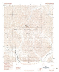
1983 · Arctic D-2
USGS Topo · 1:63,360
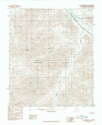
1983 · Mount Michelson A-4
USGS Topo · 1:63,360
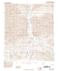
1983 · Arctic D-4
USGS Topo · 1:63,360