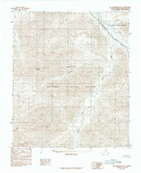
1983 Map of Mount Michelson A-4
USGS Topo · Published 1984About this map
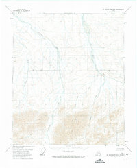
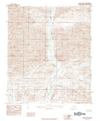
Arctic National Wildlife Refuge lands dominate this 1980s-era study of the Brooks Range foothills, where the drainage systems of the Kavik River and Marsh Fork Canning River carve through the high-latitude terrain. The survey defines the Arctic National Wildlife Refuge Wilderness and its corresponding boundary, providing a detailed view of the hydrologic network including Plunge Creek, Salisbury Creek, and Pogopuk Creek. Elevation is centered on Mount Salisbury, which stands as a prominent landmark above the wide Canning River Valley. This provisional edition, compiled from 1972 aerial photography, documents the untouched character of the North Slope's interior prior to any significant modern infrastructure development, focusing strictly on the natural topographic features and designated wilderness protections of the period.
Find a feature on this map
11 named features on this map. Tap any name to fly to it.
Don’t see what you’re looking for? This feature index may not catch every label — zoom into the map to look around manually.
Map Details
Editions of this 1983 Mount Michelson A-4 Map
2 editions found
Other maps of this area

1951 · Arctic
USGS Topo · 1:250,000

1951 · Mt. Michelson
USGS Topo · 1:250,000

1956 · Arctic
USGS Topo · 1:250,000

1956 · Mt. Michelson
USGS Topo · 1:250,000

1956 · Mount Michelson B-3
USGS Topo · 1:63,360
1971 · Arctic D-5
USGS Topo · 1:63,360
1971 · Mount Michelson A-5
USGS Topo · 1:63,360
1971 · Mount Michelson B-5
USGS Topo · 1:63,360

1983 · Mount Michelson A-3
USGS Topo · 1:63,360
1983 · Arctic D-4
USGS Topo · 1:63,360