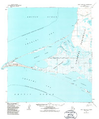
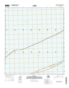
1952 Map of Point Hope B-3
USGS Topo · Published 1987About this map
Point Hope occupies a narrow gravel spit on the Lisborne Peninsula, extending into the Chukchi Sea where the Arctic Ocean meets the coastline. This mid-century survey records the complex hydrological system of the region, where the Kukpuk River and Sulupoagaktak Channel feed into the expansive Marryat Inlet. The map documents significant cultural remnants at the tip of the spit, including the Ipiutak Church (Ruins) Mission and the nearby Ipiutak Lagoon.
Find a feature on this map
35 named features on this map. Tap any name to fly to it.
Don’t see what you’re looking for? This feature index may not catch every label — zoom into the map to look around manually.
Map Details
Editions of this 1952 Point Hope B-3 Map
3 editions found
Other maps of this area

1952 · Point Hope
USGS Topo · 1:250,000

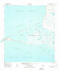
1952 · Point Hope A-2
USGS Topo · 1:63,360

1952 · Point Hope B-3
USGS Topo · 1:63,360
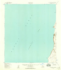
1952 · Point Hope C-3
USGS Topo · 1:63,360

1955 · Point Hope
USGS Topo · 1:250,000

1955 · Point Hope C-2
USGS Topo · 1:63,360

1955 · Point Hope B-2
USGS Topo · 1:63,360

1965 · Point Hope
USGS Topo · 1:250,000
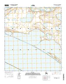
2014 · Point Hope B-3 SE
USGS Topo · 1:25,000
2014 · Point Hope B-3 NW
USGS Topo · 1:25,000