
1955 Map of Point Hope
USGS Topo · Published 1964About this map
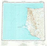
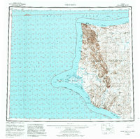
The ancient settlement of Point Hope stands prominently on its namesake gravel spit extending into the Chukchi Sea, marking one of the oldest continually inhabited sites in North America. This mid-century survey documents the coastal landscape from Cape Thompson north to Cape Lisburne, where the Arctic Ocean meets the coastline. Along the northern shoreline, the Corwin Mine and Cape Lisburne Aerodrome indicate industrial and military infrastructure in this remote northern latitude. To the south, the settlement of Chariot appears near the mouth of Ogotoruk Valley, a location of specific scientific interest during this era. Inland, a network of subsistence and travel routes is represented by a Winter Trail connecting various seasonal and historical locations, including Jabbertown and several archaeological locations such as Ipnot and Kukpuk. The geography is defined by high ridges like Sapumik Ridge and Sigrikpak Ridge that overlook the meandering Kukpuk River.
Find a feature on this map
56 named features on this map. Tap any name to fly to it.
Don’t see what you’re looking for? This feature index may not catch every label — zoom into the map to look around manually.
Map Details
Editions of this 1955 Point Hope Map
3 editions found
Other maps of this area

1951 · De Long Mountains
USGS Topo · 1:250,000

1951 · Noatak
USGS Topo · 1:250,000

1951 · Point Lay
USGS Topo · 1:250,000

1952 · Point Hope
USGS Topo · 1:250,000
1952 · Noatak D-7
USGS Topo · 1:63,360

1952 · Point Hope A-2
USGS Topo · 1:63,360

1952 · Point Hope B-3
USGS Topo · 1:63,360
1952 · Point Hope C-3
USGS Topo · 1:63,360

1952 · Point Hope D-1
USGS Topo · 1:63,360

1952 · Point Hope D-2
USGS Topo · 1:63,360