
1952 Map of Point Hope A-2
USGS Topo · Published 1958About this map
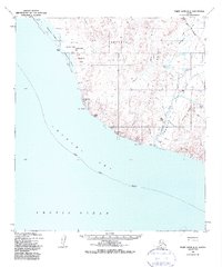
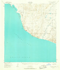
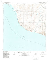
Ruins located along the northern coastline of the Chukchi Sea suggest earlier human presence on this remote Arctic landscape. This 1952 topographic study, compiled by the Army Map Service, documents a stark transition from the coastal Gravel and Coarse Sand Beach to the steep elevations of Ahgahyoukuk Mtn and Ahviknuk Mtn. The hydrology of the region is defined by a series of parallel drainages, including Ahgahyoukuk Creek and Oyotoruk Creek, which flow south and west from the interior highlands toward the coast. Significant maritime landmarks like Cape Thompson punctuate the shoreline, where the terrain shifts toward a Gravel and Boulder Beach. The map remains devoid of roads or trails, illustrating the untouched character of the Alaska-Second Judicial Division at mid-century.
Find a feature on this map
14 named features on this map. Tap any name to fly to it.
Don’t see what you’re looking for? This feature index may not catch every label — zoom into the map to look around manually.
Map Details
Editions of this 1952 Point Hope A-2 Map
4 editions found
Other maps of this area

1952 · Point Hope
USGS Topo · 1:250,000

1952 · Point Hope B-3
USGS Topo · 1:63,360

1955 · Point Hope
USGS Topo · 1:250,000

1955 · Point Hope A-1
USGS Topo · 1:63,360

1955 · Point Hope B-1
USGS Topo · 1:63,360

1955 · Point Hope B-2
USGS Topo · 1:63,360

1965 · Point Hope
USGS Topo · 1:250,000
2014 · Point Hope A-2 SE
USGS Topo · 1:25,000
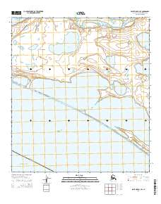
2014 · Point Hope B-3 SE
USGS Topo · 1:25,000
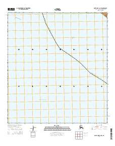
2014 · Point Hope A-2 SW
USGS Topo · 1:25,000