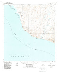
1952 Map of Point Hope A-2
USGS Topo · Published 1988About this map
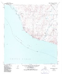
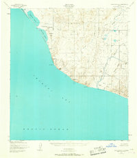
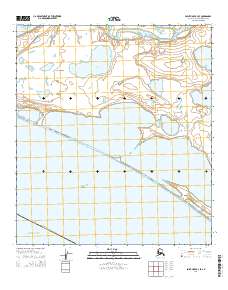
Cape Thompson and the dramatic coastal bluffs of the North Slope Borough define this 1952 topographic record. The shoreline is marked by a succession of lagoons, including Aiautak Lagoon, Kemegrak Lagoon, and Akoviknak Lagoon, separated from the Chukchi Sea by narrow stretches of Gravel and Coarse Sand Beach. Inland, the landscape rises into the Kemegrak Hills and Saligvik Ridge, where numerous seasonal drainages like Saligvik Creek and Ogotoruk Creek carve through the tundra.
Find a feature on this map
51 named features on this map. Tap any name to fly to it.
Don’t see what you’re looking for? This feature index may not catch every label — zoom into the map to look around manually.
Map Details
Editions of this 1952 Point Hope A-2 Map
4 editions found
Other maps of this area

1952 · Point Hope
USGS Topo · 1:250,000

1952 · Point Hope A-2
USGS Topo · 1:63,360

1952 · Point Hope B-3
USGS Topo · 1:63,360

1955 · Point Hope
USGS Topo · 1:250,000

1955 · Point Hope A-1
USGS Topo · 1:63,360

1955 · Point Hope B-1
USGS Topo · 1:63,360

1955 · Point Hope B-2
USGS Topo · 1:63,360

1965 · Point Hope
USGS Topo · 1:250,000
2014 · Point Hope A-2 SE
USGS Topo · 1:25,000
2014 · Point Hope B-3 SE
USGS Topo · 1:25,000