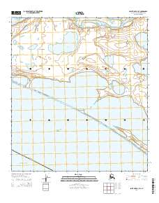
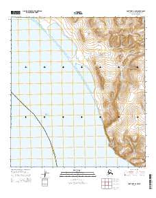
2014 Map of Point Hope B-3 SE
USGS Topo · Published 2014About this map
The Tigara Peninsula stretches into the Chukchi Sea, defining a coastal landscape where land and water are intricately linked. This 2014 survey documents a series of critical coastal features, from the narrow spit at Sinigrok Point to the isolated landform of Pingucheok in the south. The mapping highlights the complex lagoon and lake systems that characterize this part of the North Slope Borough, including Aiautak Lagoon and the freshwater Teshekpak Lake. These features reflect a dynamic environment where subsistence activities and seasonal change shape the geography. Farther north, the reach of Marryat Inlet and Lake Makpik provides further evidence of the region’s extensive hydrography, recorded here as part of the broader Arctic Ocean coastline.
Find a feature on this map
17 named features on this map. Tap any name to fly to it.
Don’t see what you’re looking for? This feature index may not catch every label — zoom into the map to look around manually.
Map Details
Editions of this 2014 Point Hope B-3 SE Map
This is the sole edition of this map. No revisions or reprints were ever made.
Other maps of this area

1952 · Point Hope
USGS Topo · 1:250,000

1952 · Point Hope A-2
USGS Topo · 1:63,360

1952 · Point Hope B-3
USGS Topo · 1:63,360

1955 · Point Hope
USGS Topo · 1:250,000

1955 · Point Hope B-2
USGS Topo · 1:63,360

1965 · Point Hope
USGS Topo · 1:250,000
2014 · Point Hope B-3 NW
USGS Topo · 1:25,000
2014 · Point Hope B-2 NW
USGS Topo · 1:25,000
2014 · Point Hope B-3 SW
USGS Topo · 1:25,000
2014 · Point Hope A-2 NW
USGS Topo · 1:25,000