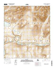
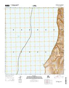
2014 Map of Point Hope B-2 NW
USGS Topo · Published 2014About this map
The Kukpuk River meanders broadly across this portion of the North Slope, defining the hydrological character of a landscape dominated by tundra and drainage basins. This 2014 survey captures a network of tributaries including Taktelak Cr and Akalolik Cr that feed into the larger river system. To the west, Tusikpak Lake sits near the boundary of section 27, while the eastern reaches are marked by the smaller flows of Kugirukor Cr and Iglupak Cr. The terrain is largely defined by its lack of human infrastructure, focusing instead on the complex natural waterways and topographic elevations of the Arctic coastal plain. The surveyor's grid, including t11s r61w and t12s r60w, provides the only structural overlay to this remote environment, illustrating how the land was partitioned for public records even in the absence of established settlements or roads.
Find a feature on this map
11 named features on this map. Tap any name to fly to it.
Don’t see what you’re looking for? This feature index may not catch every label — zoom into the map to look around manually.
Map Details
Editions of this 2014 Point Hope B-2 NW Map
This is the sole edition of this map. No revisions or reprints were ever made.
Other maps of this area

1952 · Point Hope
USGS Topo · 1:250,000

1952 · Point Hope B-3
USGS Topo · 1:63,360
1952 · Point Hope C-3
USGS Topo · 1:63,360

1955 · Point Hope
USGS Topo · 1:250,000

1955 · Point Hope C-2
USGS Topo · 1:63,360

1955 · Point Hope B-2
USGS Topo · 1:63,360

1965 · Point Hope
USGS Topo · 1:250,000
2014 · Point Hope B-3 SE
USGS Topo · 1:25,000
2014 · Point Hope B-2 SE
USGS Topo · 1:25,000
2014 · Point Hope C-3 SE
USGS Topo · 1:25,000