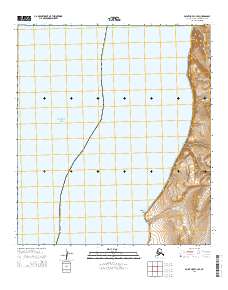
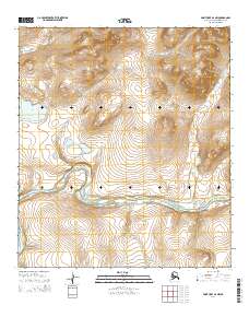
2014 Map of Point Hope C-3 SE
USGS Topo · Published 2014About this map
The vast expanse of the Chukchi Sea dominates the western half of this North Slope quadrangle, where the coastline of the North Slope Borough meets the Arctic waters. The terrain transitions from the sea to the high elevation of Iviangik Mountain in the northeast, creating a dramatic coastal profile marked by several drainage systems. Small seasonal waterways including Amilik Cr, Sigrikpak Cr, and Okvurut Cr cut through the landscape toward the shore. Further south, Kilikralik Point juts into the water near the mouth of Kilikralik Cr. This coastal survey highlights a remote section of the Alaskan wilderness where the sea-ice environment and high-latitude topography define the character of the borough's northwestern edge.
Find a feature on this map
13 named features on this map. Tap any name to fly to it.
Don’t see what you’re looking for? This feature index may not catch every label — zoom into the map to look around manually.
Map Details
Editions of this 2014 Point Hope C-3 SE Map
This is the sole edition of this map. No revisions or reprints were ever made.
Other maps of this area

1952 · Point Hope
USGS Topo · 1:250,000

1952 · Point Hope B-3
USGS Topo · 1:63,360
1952 · Point Hope C-3
USGS Topo · 1:63,360

1955 · Point Hope
USGS Topo · 1:250,000

1955 · Point Hope C-2
USGS Topo · 1:63,360

1955 · Point Hope B-2
USGS Topo · 1:63,360

1965 · Point Hope
USGS Topo · 1:250,000
2014 · Point Hope C-3 NE
USGS Topo · 1:25,000
2014 · Point Hope B-3 NW
USGS Topo · 1:25,000
2014 · Point Hope B-2 NW
USGS Topo · 1:25,000