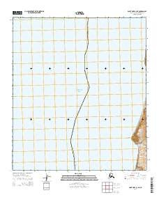
2014 Map of Point Hope C-3 NE
USGS Topo · Published 2014About this map
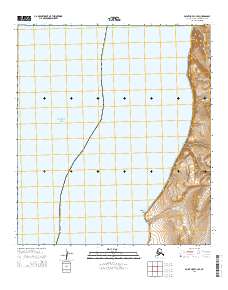
The remote coastline of the North Slope Borough meets the expanse of the Chukchi Sea along this northwestern stretch of the Arctic frontier. The topography is defined by significant maritime landmarks, including the prominent headlands of Cape Lewis and Cape Dyer. These coastal features serve as critical navigational points along an otherwise continuous shoreline, where the land rises sharply from the water's edge. Inland, the hydrology is sparse, represented by the drainage of Kapaloak Cr, which flows toward the sea south of the primary capes. This 2014 survey documents the area's geography as part of the Public Land Survey System, illustrating the township and range divisions of t8s r60w and t9s r61w against the stark coastal environment.
Find a feature on this map
7 named features on this map. Tap any name to fly to it.
Don’t see what you’re looking for? This feature index may not catch every label — zoom into the map to look around manually.
Map Details
Editions of this 2014 Point Hope C-3 NE Map
This is the sole edition of this map. No revisions or reprints were ever made.
Other maps of this area

1952 · Point Hope
USGS Topo · 1:250,000
1952 · Point Hope C-3
USGS Topo · 1:63,360

1952 · Point Hope D-2
USGS Topo · 1:63,360

1955 · Point Hope
USGS Topo · 1:250,000

1955 · Point Hope C-2
USGS Topo · 1:63,360

1965 · Point Hope
USGS Topo · 1:250,000
2014 · Point Hope D-2 OE W SE
USGS Topo · 1:25,000
2014 · Point Hope D-2 SW
USGS Topo · 1:25,000
2014 · Point Hope C-3 SE
USGS Topo · 1:25,000
2014 · Point Hope C-2 SW
USGS Topo · 1:25,000