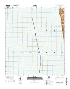
2014 Map of Point Hope D-2 OE W SE
USGS Topo · Published 2014About this map
Chukchi Sea waters dominate this coastal landscape, meeting the shoreline of the Alaska North Slope Borough along a remote stretch of the Arctic coast. The map focuses on the maritime interface where the sea meets the land at Alokut Point, a distinctive geographical feature on the eastern edge of the sheet. The area is defined by its extreme northern positioning and vast coastal stretches, showing little in the way of human infrastructure or permanent settlements. This 2014 survey documents the contemporary coastline and Public Land Survey System divisions, including t6s r60w, t7s r60w, and t8s r60w, providing a precise record of the administrative and natural boundaries of this Arctic territory.
Find a feature on this map
6 named features on this map. Tap any name to fly to it.
Don’t see what you’re looking for? This feature index may not catch every label — zoom into the map to look around manually.
Map Details
Editions of this 2014 Point Hope D-2 OE W SE Map
This is the sole edition of this map. No revisions or reprints were ever made.
Other maps of this area

1952 · Point Hope
USGS Topo · 1:250,000
1952 · Point Hope C-3
USGS Topo · 1:63,360

1952 · Point Hope D-2
USGS Topo · 1:63,360

1955 · Point Hope
USGS Topo · 1:250,000

1955 · Point Hope C-2
USGS Topo · 1:63,360

1965 · Point Hope
USGS Topo · 1:250,000
2014 · Point Hope C-3 NE
USGS Topo · 1:25,000
2014 · Point Hope D-2 NW
USGS Topo · 1:25,000
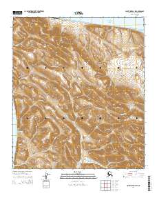
2014 · Point Hope D-2 SW
USGS Topo · 1:25,000
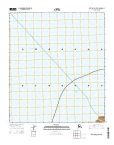
2014 · Point Hope D-2 OE W NE
USGS Topo · 1:25,000