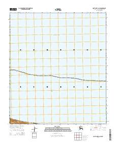
2014 Map of Point Hope D-2 NW
USGS Topo · Published 2014About this map
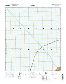
Arctic Ocean and Chukchi Sea waters dominate this remote coastal survey along the northwestern edge of the North Slope Borough. The map is characterized by its significant maritime coverage, illustrating the intersection of these two massive polar water bodies. On the limited landmass at the southern edge of the sheet, the Cape Lisburne LRRS Airport serves as the primary human landmark. This facility, part of the Long Range Radar Site system, represents the strategic military and logistical infrastructure required to maintain presence in the high Arctic. The coastline is marked by steep elevation changes near the cape, contrasting with the vast marine environment that occupies the majority of the quadrangle.
Find a feature on this map
6 named features on this map. Tap any name to fly to it.
Don’t see what you’re looking for? This feature index may not catch every label — zoom into the map to look around manually.
Map Details
Editions of this 2014 Point Hope D-2 NW Map
This is the sole edition of this map. No revisions or reprints were ever made.
Other maps of this area

1952 · Point Hope
USGS Topo · 1:250,000

1952 · Point Hope D-2
USGS Topo · 1:63,360

1955 · Point Hope
USGS Topo · 1:250,000

1965 · Point Hope
USGS Topo · 1:250,000
2014 · Point Hope D-2 OE W SE
USGS Topo · 1:25,000
2014 · Point Hope D-2 SW
USGS Topo · 1:25,000
2014 · Point Hope D-2 SE
USGS Topo · 1:25,000
2014 · Point Hope D-2 OE W NE
USGS Topo · 1:25,000
2020 · Point Hope D-2 NE
USGS Topo · 1:25,000