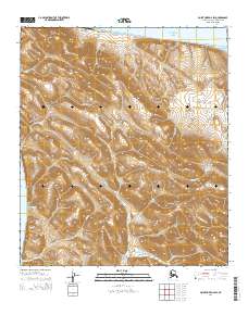
2014 Map of Point Hope D-2 SW
USGS Topo · Published 2014About this map
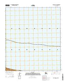
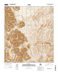
The coastal village of Wevok sits at the northern edge of this map, positioned near the Chukchi Sea coastline in a region defined by high Arctic ridges. The landscape is dominated by the Lisburne Hills and prominent peaks like Mount Hamlet and Noyalik Peak, showcasing a geography where steep coastal bluffs meet the sea. Of particular importance for modern logistical history is the Cape Lisburne LRRS Airport, part of the Long Range Radar Site system, which serves as a remote outpost in this corner of the Alaska North Slope.
Find a feature on this map
23 named features on this map. Tap any name to fly to it.
Don’t see what you’re looking for? This feature index may not catch every label — zoom into the map to look around manually.
Map Details
Editions of this 2014 Point Hope D-2 SW Map
This is the sole edition of this map. No revisions or reprints were ever made.
Other maps of this area

1952 · Point Hope
USGS Topo · 1:250,000
1952 · Point Hope C-3
USGS Topo · 1:63,360

1952 · Point Hope D-2
USGS Topo · 1:63,360

1955 · Point Hope
USGS Topo · 1:250,000

1955 · Point Hope C-2
USGS Topo · 1:63,360

1965 · Point Hope
USGS Topo · 1:250,000
2014 · Point Hope D-2 OE W SE
USGS Topo · 1:25,000
2014 · Point Hope C-3 NE
USGS Topo · 1:25,000
2014 · Point Hope D-2 NW
USGS Topo · 1:25,000
2014 · Point Hope C-2 NE
USGS Topo · 1:25,000