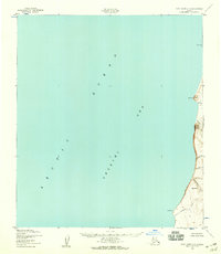
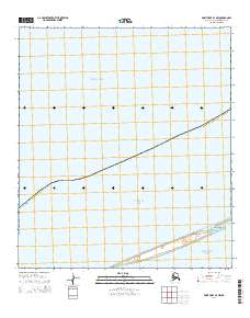
1952 Map of Point Hope C-3
USGS Topo · Published 1959About this map
The remote shoreline where the Arctic Ocean meets the Chukchi Sea dominates this 1952 photogrammetric survey of the Alaska coast. The landscape is defined by the steep transition from the sea to the rising highlands, most notably at Enveakgeak (Big Ear Mountain). Coastal navigation is marked by prominent landforms such as Cape Lewis in the north and Cape Dyer further south. The drainage patterns of the interior are recorded through numerous small waterways including Anguulik Creek, Kiliakpuk Creek, and Siniktanneyak Creek, which cut through the terrain to reach the ocean. This chart reflects the desolate character of the North Slope before significant modern infrastructure reached these northern latitudes, focusing on the topography and natural landmarks essential for maritime and aerial orientation.
Find a feature on this map
13 named features on this map. Tap any name to fly to it.
Don’t see what you’re looking for? This feature index may not catch every label — zoom into the map to look around manually.
Map Details
Editions of this 1952 Point Hope C-3 Map
2 editions found
Other maps of this area

1952 · Point Hope
USGS Topo · 1:250,000

1952 · Point Hope B-3
USGS Topo · 1:63,360

1952 · Point Hope D-2
USGS Topo · 1:63,360

1955 · Point Hope
USGS Topo · 1:250,000

1955 · Point Hope C-2
USGS Topo · 1:63,360

1955 · Point Hope B-2
USGS Topo · 1:63,360

1965 · Point Hope
USGS Topo · 1:250,000
2014 · Point Hope D-2 OE W SE
USGS Topo · 1:25,000
2014 · Point Hope C-3 NE
USGS Topo · 1:25,000
2014 · Point Hope B-3 NW
USGS Topo · 1:25,000