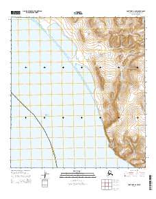
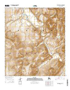
2014 Map of Point Hope A-2 NW
USGS Topo · Published 2014About this map
Chukchi Sea waters define the western edge of this remote Arctic coastal landscape, where the shoreline is punctuated by prominent geological features like Cape Thompson and the soaring Imnakpak Cliff. The topography transitions from the maritime environment of Akoviknak Lagoon and Kemegrak Lagoon into the steep rises of Akoviknak Mountain and Angayukak Hill. This coastal drainage system is characterized by numerous small waterways, including Isuk Cr, Agarak Cr, and Angayukak Cr, which cut through the tundra toward the sea.
Find a feature on this map
23 named features on this map. Tap any name to fly to it.
Don’t see what you’re looking for? This feature index may not catch every label — zoom into the map to look around manually.
Map Details
Editions of this 2014 Point Hope A-2 NW Map
This is the sole edition of this map. No revisions or reprints were ever made.
Other maps of this area

1952 · Point Hope
USGS Topo · 1:250,000

1952 · Point Hope A-2
USGS Topo · 1:63,360

1952 · Point Hope B-3
USGS Topo · 1:63,360

1955 · Point Hope
USGS Topo · 1:250,000

1955 · Point Hope B-2
USGS Topo · 1:63,360

1965 · Point Hope
USGS Topo · 1:250,000
2014 · Point Hope A-2 SE
USGS Topo · 1:25,000
2014 · Point Hope B-3 SE
USGS Topo · 1:25,000
2014 · Point Hope A-2 SW
USGS Topo · 1:25,000
2014 · Point Hope B-2 SE
USGS Topo · 1:25,000