2014 Map of Point Hope A-2 SW
USGS Topo · Published 2014About this map
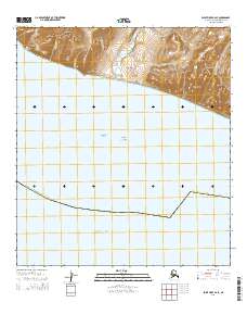
Arctic Ocean waters dominate this remote northern landscape where the Chukchi Sea meets the northwestern coast of the Alaska North Slope Borough. The map highlights the vast oceanic expanse above the Arctic Circle, delineated by the Public Land Survey System grids of t31n r32w and t32n r32w. This 2014 survey focuses almost entirely on the maritime environment, providing a precise record of the shoreline and the jurisdictional boundaries that define this portion of the Alaskan frontier. The minimal terrestrial presence emphasizes the isolation of the region and the significance of these northern waters for navigation and local history.
Find a feature on this map
6 named features on this map. Tap any name to fly to it.
Don’t see what you’re looking for? This feature index may not catch every label — zoom into the map to look around manually.
Map Details
Editions of this 2014 Point Hope A-2 SW Map
This is the sole edition of this map. No revisions or reprints were ever made.