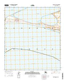
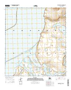
2014 Map of Point Hope B-3 SW
USGS Topo · Published 2014About this map
Point Hope sits at the western edge of the Tigara Peninsula, a narrow spit of land defining the boundary between the Chukchi Sea and the Arctic Ocean. This remote settlement is organized around a grid of local thoroughfares including Tikigaq Avenue, Ippig Street, and Ittivyaag Avenue. The landscape is dominated by the surrounding coastal waters and significant lagoon systems, most notably Ipiutak Lagoon and the expansive Marryat Inlet to the northeast.
Find a feature on this map
22 named features on this map. Tap any name to fly to it.
Don’t see what you’re looking for? This feature index may not catch every label — zoom into the map to look around manually.
Map Details
Editions of this 2014 Point Hope B-3 SW Map
This is the sole edition of this map. No revisions or reprints were ever made.
Other maps of this area

1952 · Point Hope
USGS Topo · 1:250,000

1952 · Point Hope B-3
USGS Topo · 1:63,360

1955 · Point Hope
USGS Topo · 1:250,000

1965 · Point Hope
USGS Topo · 1:250,000
2014 · Point Hope B-3 SE
USGS Topo · 1:25,000
2014 · Point Hope B-3 NW
USGS Topo · 1:25,000
2014 · Point Hope B-3 OE W SE
USGS Topo · 1:25,000
2014 · Point Hope B-3 NE
USGS Topo · 1:25,000