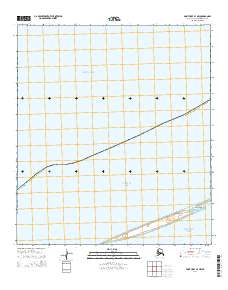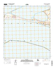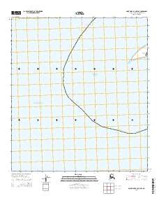
2014 Map of Point Hope B-3 OE W SE
USGS Topo · Published 2014About this map
Point Hope sits at the edge of this Arctic landscape, positioned where the Chukchi Sea meets the expanse of the Arctic Ocean. This 2014 survey by the U.S. Geological Survey shows the coastal infrastructure of the North Slope, primarily centered around the settlement and the Point Hope Airport. The map highlights the intersection of traditional northern life and modern transit, with the airport serving as a critical link for the borough. The boundary of the North Slope Borough Alaska curves through the maritime waters, delineating jurisdictional reaches in this high-latitude environment. The grid system of t34n r35w provides a formal structure to the shifting coastal geography, illustrating how federal land management systems apply even to these remote maritime fringes of the American north.
Find a feature on this map
6 named features on this map. Tap any name to fly to it.
Don’t see what you’re looking for? This feature index may not catch every label — zoom into the map to look around manually.
Map Details
Editions of this 2014 Point Hope B-3 OE W SE Map
This is the sole edition of this map. No revisions or reprints were ever made.