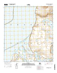
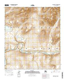
2014 Map of Point Hope B-3 NE
USGS Topo · Published 2014About this map
Marryat Inlet and the complex coastal hydrology of the North Slope Borough define this portion of the Alaskan coastline where the Arctic Ocean meets the Chukchi Sea. The landscape is dominated by the meandering delta of the Kukpuk River, which feeds into the inlet through various distributaries including the Suluppagaktak Channel. To the north, the terrain transitions from the tidal flats of Sinuk to more prominent features like Kowtuk Point and the elevations of Rock Bluffs. This survey captures a remote wilderness of water and tundra, where isolated landmarks like Tusikpak Lake and the drainage of Akalolik Cr provide the only points of orientation in a vast, roadless expanse. The map illustrates the shifting boundaries between land and sea in the high Arctic, reflecting the natural drainage patterns of the western North Slope.
Find a feature on this map
16 named features on this map. Tap any name to fly to it.
Don’t see what you’re looking for? This feature index may not catch every label — zoom into the map to look around manually.
Map Details
Editions of this 2014 Point Hope B-3 NE Map
This is the sole edition of this map. No revisions or reprints were ever made.
Other maps of this area

1952 · Point Hope
USGS Topo · 1:250,000

1952 · Point Hope B-3
USGS Topo · 1:63,360
1952 · Point Hope C-3
USGS Topo · 1:63,360

1955 · Point Hope
USGS Topo · 1:250,000

1955 · Point Hope C-2
USGS Topo · 1:63,360

1955 · Point Hope B-2
USGS Topo · 1:63,360

1965 · Point Hope
USGS Topo · 1:250,000
2014 · Point Hope B-3 SE
USGS Topo · 1:25,000
2014 · Point Hope B-3 NW
USGS Topo · 1:25,000
2014 · Point Hope B-2 NW
USGS Topo · 1:25,000