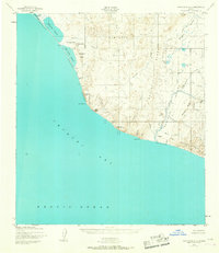
1952 Map of Point Hope A-2
USGS Topo · Published 1967About this map
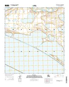
The Chukchi Sea coastline of Alaska's North Slope is captured here during the early 1950s, revealing a landscape defined by coastal lagoons and significant topographical landmarks. Along the Gravel and Coarse Sand Beach north of Cape Thompson, the map identifies Ruins near Kemegrak Lagoon, suggesting early human activity in this remote Arctic environment. Inland, the Kemegrak Hills and Saligvik Ridge rise above a complex network of drainages including Saligvik Creek and Ogotoruk Creek. Notable features such as Chariot (Site) near Crowbill Point reflect mid-century scientific or logistical footprints, while landmarks like Imnakpak Cliff and Inukpak Rock serve as primary orientation points for this stretch of the coast. The absence of roads emphasizes the area's reliance on trails and the natural beach corridor for movement between seasonal points of interest like Artigotrat Spring.
Find a feature on this map
45 named features on this map. Tap any name to fly to it.
Don’t see what you’re looking for? This feature index may not catch every label — zoom into the map to look around manually.
Map Details
Editions of this 1952 Point Hope A-2 Map
4 editions found
Other maps of this area

1952 · Point Hope
USGS Topo · 1:250,000

1952 · Point Hope A-2
USGS Topo · 1:63,360

1952 · Point Hope B-3
USGS Topo · 1:63,360

1955 · Point Hope
USGS Topo · 1:250,000

1955 · Point Hope A-1
USGS Topo · 1:63,360

1955 · Point Hope B-1
USGS Topo · 1:63,360

1955 · Point Hope B-2
USGS Topo · 1:63,360

1965 · Point Hope
USGS Topo · 1:250,000
2014 · Point Hope A-2 SE
USGS Topo · 1:25,000
2014 · Point Hope B-3 SE
USGS Topo · 1:25,000