
1955 Map of Umiat C-5
USGS Topo · Published 1971About this map
The Judy Creek drainage and the meandering Kikiakrorak River dominate this 1955 portrait of the Arctic coastal plain. The terrain transitions from the lake-saturated lowlands in the north to the increasingly dissected upland plateaus toward the south, where the Kogosukruk River carves through the landscape. This era of mapping was part of a larger effort by the U.S. Army Topographic Command to document remote territories for civil and industrial use. A notable human element in this otherwise undeveloped expanse is the Winter Trail, which cuts across the tundra and creek beds, marking a seasonal transport route vital for crossing the frozen landscape. The map's contour lines and numerous unnamed lakes illustrate the complex hydrology of the North Slope, where water and permafrost dictate the pattern of movement and land use.
Find a feature on this map
4 named features on this map. Tap any name to fly to it.
Don’t see what you’re looking for? This feature index may not catch every label — zoom into the map to look around manually.
Map Details
Editions of this 1955 Umiat C-5 Map
This is the sole edition of this map. No revisions or reprints were ever made.
Other maps of this area

1951 · Ikpikpuk River
USGS Topo · 1:250,000

1952 · Umiat
USGS Topo · 1:250,000

1955 · Umiat B-4
USGS Topo · 1:63,360

1955 · Umiat C-4
USGS Topo · 1:63,360
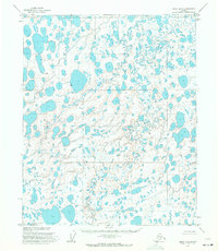
1955 · Umiat D-5
USGS Topo · 1:63,360
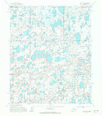
1955 · Umiat D-4
USGS Topo · 1:63,360

1955 · Umiat B-5
USGS Topo · 1:63,360

1956 · Ikpikpuk River
USGS Topo · 1:250,000

1956 · Umiat
USGS Topo · 1:250,000

1964 · Umiat
USGS Topo · 1:250,000