
1955 Map of Point Lay A-1
USGS Topo · Published 1991About this map
Amatusuk Hills dominate the central landscape of this North Slope interior, where the high Arctic terrain is defined by dramatic ridgelines and winding river systems. Surveyed in the mid-1950s, the map reveals a stark, undeveloped wilderness where drainage patterns dictate the only movement across the land. The Kokolik River winds through the eastern edge of the quadrangle, while Deadfall Creek and the Epizetka River carve deep into the northern and southern sectors. The absence of roads or permanent settlements in this mid-century survey underscores the isolation of the region, providing a baseline for researchers studying the unchanged hydrology and geomorphology of Alaska's remote interior before modern shifts in the landscape.
Find a feature on this map
4 named features on this map. Tap any name to fly to it.
Don’t see what you’re looking for? This feature index may not catch every label — zoom into the map to look around manually.
Map Details
Editions of this 1955 Point Lay A-1 Map
2 editions found
Other maps of this area

1951 · De Long Mountains
USGS Topo · 1:250,000

1951 · Utukok River
USGS Topo · 1:250,000

1951 · Point Lay
USGS Topo · 1:250,000

1951 · Misheguk Mountain
USGS Topo · 1:250,000

1955 · De Long Mountains
USGS Topo · 1:250,000

1955 · Point Lay
USGS Topo · 1:250,000
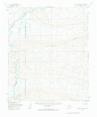
1955 · Utukok River A-5
USGS Topo · 1:63,360

1955 · Point Lay B-1
USGS Topo · 1:63,360

1955 · Point Lay A-1
USGS Topo · 1:63,360
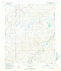
1955 · Utukok River B-5
USGS Topo · 1:63,360