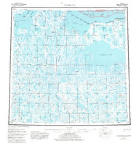
1955 Map of Teshekpuk
USGS Topo · Published 1981About this map
Teshekpuk Lake dominates the central landscape of this Arctic coastal region, which was mapped during a period of intensive energy exploration. The entire territory sits within the National Petroleum Reserve in Alaska, a designation that influenced the development of the numerous exploration sites documented here, including Simpson Test Well No 1 and Ikpikpuk Test Well No 1. The landscape is a complex network of tundra waterways, where the Chipp River and Ikpikpuk River meander toward the Beaufort Sea.
Find a feature on this map
42 named features on this map. Tap any name to fly to it.
Don’t see what you’re looking for? This feature index may not catch every label — zoom into the map to look around manually.
Map Details
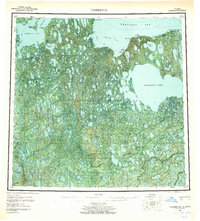
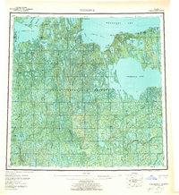
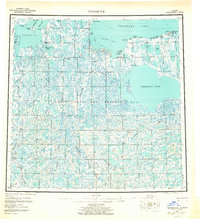
Editions of this 1955 Teshekpuk Map
5 editions found

Other maps of this area

1945 · Barrow
USGS Topo · 1:250,000

1949 · Barrow
USGS Topo · 1:250,000

1951 · Harrison Bay
USGS Topo · 1:250,000

1951 · Meade River
USGS Topo · 1:250,000

1951 · Lookout Ridge
USGS Topo · 1:250,000

1951 · Teshekpuk
USGS Topo · 1:250,000

1951 · Ikpikpuk River
USGS Topo · 1:250,000

1952 · Umiat
USGS Topo · 1:250,000

1955 · Barrow A-2
USGS Topo · 1:63,360

1955 · Barrow
USGS Topo · 1:250,000