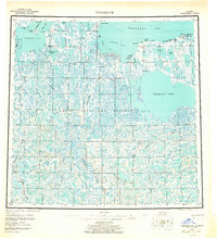
1955 Map of Teshekpuk
USGS Topo · Published 1964About this map
Teshekpuk Lake dominates this Arctic landscape within the expansive boundaries of Naval Petroleum Reserve No 4. This 1955 survey illustrates the immense network of thermokarst lakes and rivers, including the Ikpikpuk River and Chip River, which define the drainage patterns of the North Slope. Human activity is largely coastal or riverine, marked by the settlement at Alaktak and several remote outposts like Anakruak.
Find a feature on this map
38 named features on this map. Tap any name to fly to it.
Don’t see what you’re looking for? This feature index may not catch every label — zoom into the map to look around manually.
Map Details
Editions of this 1955 Teshekpuk Map
5 editions found

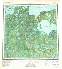
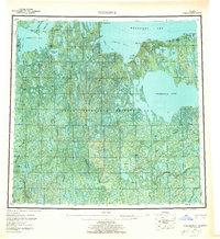
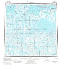
Other maps of this area

1945 · Barrow
USGS Topo · 1:250,000

1949 · Barrow
USGS Topo · 1:250,000

1951 · Harrison Bay
USGS Topo · 1:250,000

1951 · Meade River
USGS Topo · 1:250,000

1951 · Lookout Ridge
USGS Topo · 1:250,000

1951 · Teshekpuk
USGS Topo · 1:250,000

1951 · Ikpikpuk River
USGS Topo · 1:250,000

1952 · Umiat
USGS Topo · 1:250,000

1955 · Barrow A-2
USGS Topo · 1:63,360

1955 · Barrow
USGS Topo · 1:250,000