
1955 Map of Mount Michelson C-5
USGS Topo · Published 1964About this map
The Kavik River defines this portion of Alaska's North Slope, carving a winding path through the Brooks Range foothills as it flows toward the Arctic coastal plain. Based on 1955 aerial photography and field annotations by the Army Map Service, the landscape is recorded here as a series of intricate contour lines and drainage patterns before modern industrial infrastructure reached this latitude. The topography is marked by significant survey points including Δ Cop 2172 and Δ Ignek 1734, which serve as primary reference landmarks in this high-latitude terrain. This edition preserves the unsurveyed and unmarked locations predetermined by the Bureau of Land Management for the Umiat Meridian. The presence of numerous ponds and marshy areas in the northern reach of the sheet illustrates the permafrost-driven hydrology of the region during the mid-century.
Find a feature on this map
6 named features on this map. Tap any name to fly to it.
Don’t see what you’re looking for? This feature index may not catch every label — zoom into the map to look around manually.
Map Details
Editions of this 1955 Mount Michelson C-5 Map
This is the sole edition of this map. No revisions or reprints were ever made.
Other maps of this area

1951 · Sagavanirktok D-5
USGS Topo · 1:250,000

1951 · Mt. Michelson
USGS Topo · 1:250,000

1955 · Mount Michelson D-5
USGS Topo · 1:63,360

1955 · Mount Michelson C-4
USGS Topo · 1:63,360

1955 · Mount Michelson D-4
USGS Topo · 1:63,360
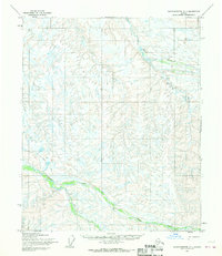
1955 · Sagavanirktok C-1
USGS Topo · 1:63,360
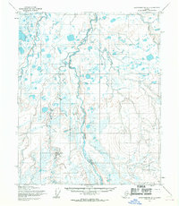
1955 · Sagavanirktok D-1
USGS Topo · 1:63,360

1956 · Mt. Michelson
USGS Topo · 1:250,000

1956 · Sagavanirktok
USGS Topo · 1:250,000

1958 · Sagavanirktok
USGS Topo · 1:250,000