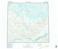
1956 Map of Ikpikpuk River
USGS Topo · Published 1988About this map
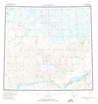
The National Petroleum Reserve in Alaska defines the landscape of this mid-century survey, a remote stretch of the North Slope where the Arctic coastal plain meets the foothills. The terrain is characterized by a dense network of thermokarst lakes, including the Oumalik Lakes and Kolutak Lakes, which drain into the meandering courses of the Ikpikpuk River and Oumalik River.
Find a feature on this map
47 named features on this map. Tap any name to fly to it.
Don’t see what you’re looking for? This feature index may not catch every label — zoom into the map to look around manually.
Map Details
Editions of this 1956 Ikpikpuk River Map
6 editions found

Other maps of this area

1951 · Harrison Bay
USGS Topo · 1:250,000

1951 · Meade River
USGS Topo · 1:250,000

1951 · Lookout Ridge
USGS Topo · 1:250,000

1951 · Teshekpuk
USGS Topo · 1:250,000

1951 · Ikpikpuk River
USGS Topo · 1:250,000

1951 · Chandler Lake
USGS Topo · 1:250,000

1951 · Howard Pass
USGS Topo · 1:250,000

1951 · Killik River
USGS Topo · 1:250,000

1952 · Umiat
USGS Topo · 1:250,000

1955 · Harrison Bay
USGS Topo · 1:250,000