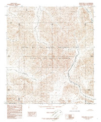
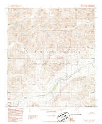
1986 Map of Killik River A-4
USGS Topo · Published 1986About this map
Gates of the Arctic National Park and the expansive Gates of the Arctic Wilderness define this high-latitude terrain within the North Slope Borough. This 1986 survey, compiled from 1973 aerial photography, documents the hydrological patterns of the central Brooks Range before late-twentieth-century environmental shifts. The drainage network is anchored by the East Fork Etiuluk River in the northwest, while the southeastern corner is carved by Kakiuilak Creek. Between these systems, Itilyiagtok Creek meanders through complex topographic contours, illustrating the unpopulated and roadless character of the region as established by the Alaska National Interest Lands Conservation Act. The map provides a detailed record of landform elevations and watercourses in a period when these federal reservations were relatively new designations.
Find a feature on this map
6 named features on this map. Tap any name to fly to it.
Don’t see what you’re looking for? This feature index may not catch every label — zoom into the map to look around manually.
Map Details
Editions of this 1986 Killik River A-4 Map
This is the sole edition of this map. No revisions or reprints were ever made.
Other maps of this area

1951 · Survey Pass
USGS Topo · 1:250,000

1951 · Killik River
USGS Topo · 1:250,000

1956 · Survey Pass
USGS Topo · 1:250,000

1956 · Killik River
USGS Topo · 1:250,000

1964 · Survey Pass
USGS Topo · 1:250,000

1966 · Survey Pass
USGS Topo · 1:250,000
1984 · Killik River B-5
USGS Topo · 1:63,360
1984 · Killik River A-5
USGS Topo · 1:63,360
1986 · Survey Pass D-5
USGS Topo · 1:63,360
1986 · Killik River A-3
USGS Topo · 1:63,360